History of Mapping
Today we are starting the Unit on Latitude and Longitude as well as European Exploration
Introduction to the Unit
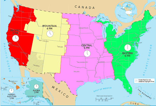
We are beginning our Unit on Latitude/Longitude Time zones and the History of Cartography (map making). In this
Objectives-
*Given a blank piece of paper, the student will experience the challenges of a cartographer in producing and accurate map based solely on verbal instructions.
*Given a fictitious land mass to view, students will use only cardinal direction in describing the details to
*Given a description of a fictitious island, students will use recently acquired mapping skills to produce an accurate replication of the described land.
* Given a blank piece of paper students will be able to draw a relatively accurate map of a familiar place they know very well.
Rationale:- Understanding the challenges with making accurate maps will teach the
Evidence:- Students will be able to use an atlas and latitude/longitude coordinates to locate various places
| Does this look very accurate? |
Latitude and Longitude Packet - Lat Long Scavenger Hunt
Once the presentation is finished I will post a pdf version of the presentation for students to have.
When we get back from break, we will work on Time Zones, and the History of Map Making.


