
California
Today's schedule
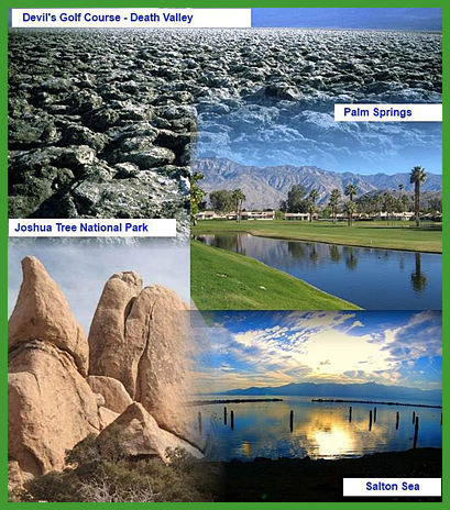
Objective - Given a blank maps, and a reading about California regions, students will be able to describe the various regions of California, including how their characteristics and physical environments (e.g., water, landforms, vegetation, climate) affect human activity. Identify the locations of the Pacific Ocean, rivers, valleys, and mountain passes and use maps, charts, and pictures to describe how regions [communities] in California vary in land use, vegetation, wildlife, climate…
Rationale - Students current geographical awareness of California (the state where they live) is sorely lacking. Getting to know your own state is step one in remedying this problem.
Evidence - By correctly listing and labeling the various geographical regions of California on a map, students will demonstrate their understanding of where items are located.
California Regions Assignment
_________________________________________________________________________________________________________________________
California Regions Activity
We will start the period by looking at the capabilities of Google Maps. Once you are familiar with the tools, we will watch a short video and presentation,
which will be followed by a Region's Activity-
Regions Assignment - California's Gold
MyMaps Tutorial - Here
California Regions ppt - Here
Work on the USA Map Activity to understand the history behind naming the States
How the States got their names - (naming of states resource info)
How the states got their name identification sheet and Map (handout) - The Map
If you finish early, make progress on your USA maps and your Current Events
USA -
Blank Maps - Blank Maps
List of Pol/Phy items for maps - List
_________________________________________________________________________________________________________________________Culture Collage Directions Fandango Directions