Timeline Project Intro
Objective(s):
Given a chromebook with access to Google Docs, students will be able to produce a historical Timeline of explorers, navigation tools, inventors, and maps as it relates to the history of cartography, and the expansion of european created maps, using either Google Slides OR the Hstry.co timeline maker
Rationale: Understanding the role each of the 4 contributing elements had to the history of cartography and exploration. This will enable students to make the connections between a country or kingdoms desire for expansion, wealth, and fame and the difficulties encountered by those exploring.
Evidence: Being able to chronologically place each of the main events/advancements/etc along a timeline will demonstrate the various influences each had on the development and advancement of cartography.
_________________________________________________________________________________________________________________________Today's schedule
On Thursday Per 3 will be given time in class to work on the Court Cartographers Project, On Friday Per2,4, & 6, will be introduced to the Timeline Project._________________________________________________________________________________________________________________________
Finishing Mapping and Explorers
Goal: To compile all the information we covered during the Mapping and Explorers Unit into one sequential timeline to understand how and when each discovery/invention led to a better understanding of the world around us. This project will lead us into the Next Unit which will cover the impact of those explorers on the Western Hemisphere through the Columbian Exchange.
Timelines

Step 1 - set-up your google acct folders (see timeline directions for this)
Directions for Timeline Project - ( here ) you will be given class time to work on this project during this week as well as into next week.
At the end of Step 1 (Day 1 in the process) -
- 4 things are required - Date, Name, Description and Image of each item in your category saved into your folder
Timeline Project Resources: (these can also be found on the resources page)
You should also use the web to locate additional resources for the timeline
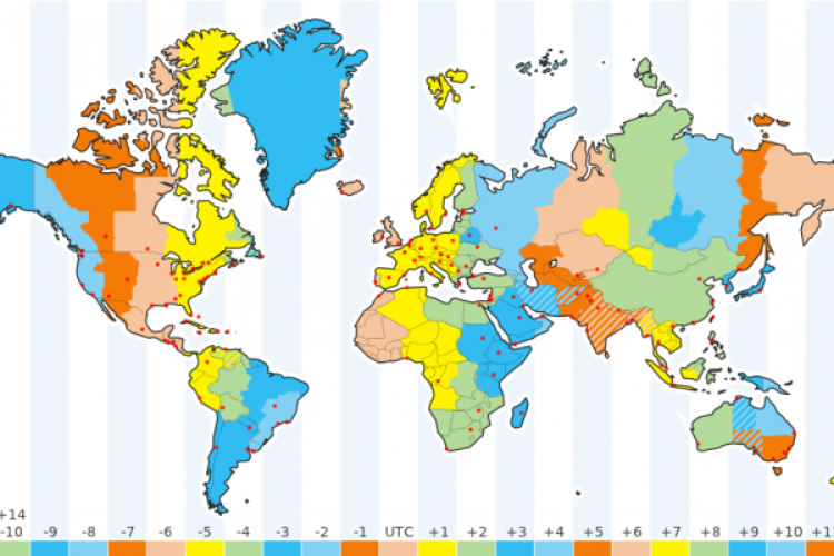
here's a site: Nautical Navigation
_________________________________________________________________________________________________________________________
Once you have got back together with table groups, you need to share the information with each other and collectively decide on the order of items.